Streamlined Geospatial Logo
STREAMLINEDGEOSPATIAL

Streamlined Geospatial

Specialised geospatial support for environmental and engineering projects

Hi, I'm Hugo

Specialised Geospatial Consultant & Environmental Data Scientist

I provide professional geospatial services to environmental consultancies on a project-by-project basis, helping you tackle complex spatial challenges without the overhead of a full-time specialist.

SPECIALIZED SERVICES.
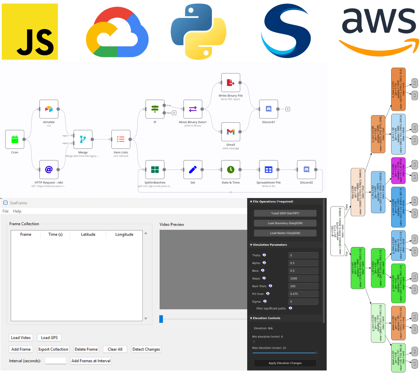
Advanced mapping and visualization services

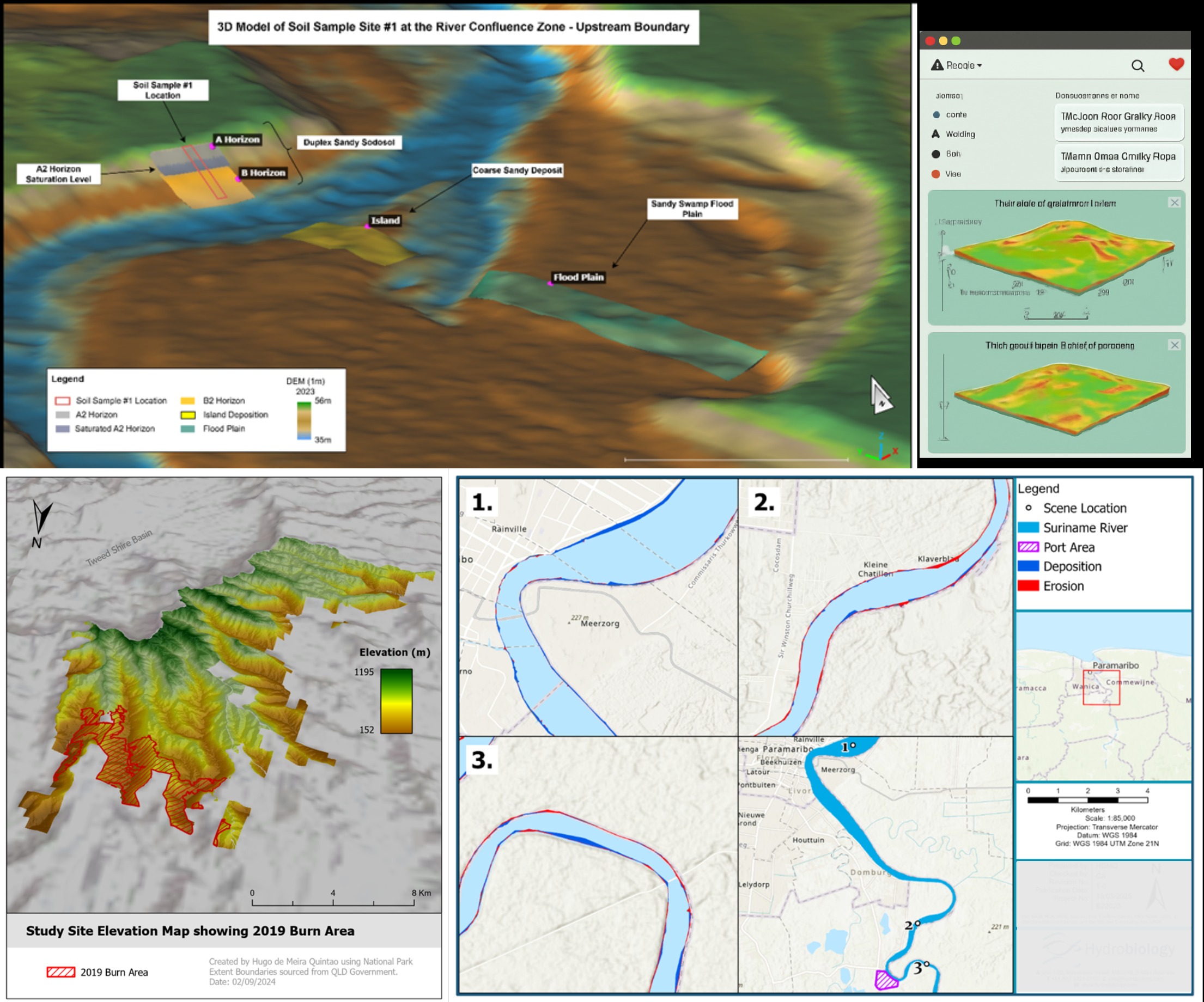
Advanced Mapping & Visualisation

High-quality maps, 3D visualizations, and interactive dashboards for environmental projects.

Advanced GIS Analysis services

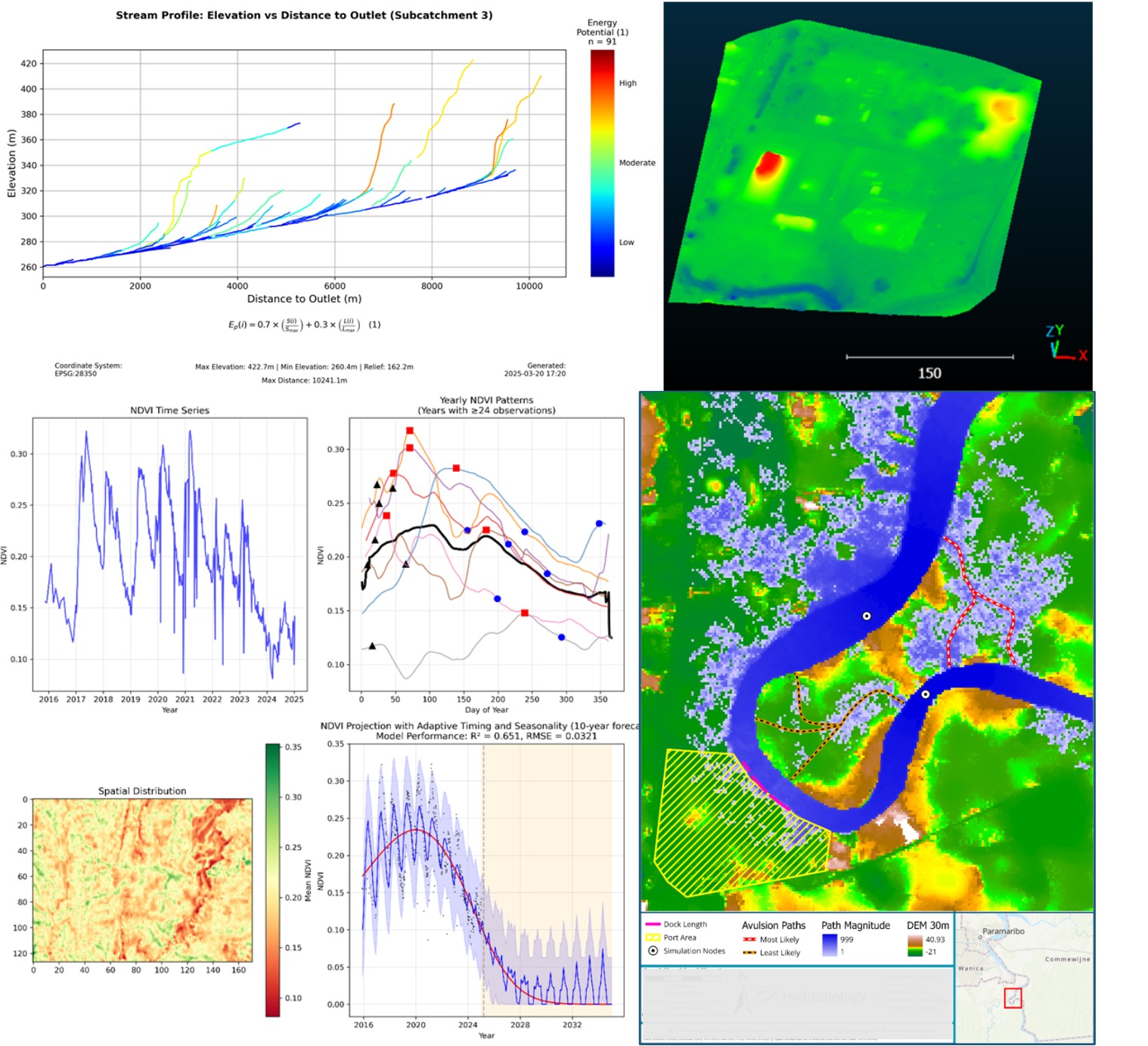
Advanced GIS Analysis

Specialized geospatial analysis, modeling, and custom tool development for environmental applications.

AI and Machine Learning services

AI & Machine Learning

Cutting-edge AI solutions for environmental data analysis, classification, and prediction.

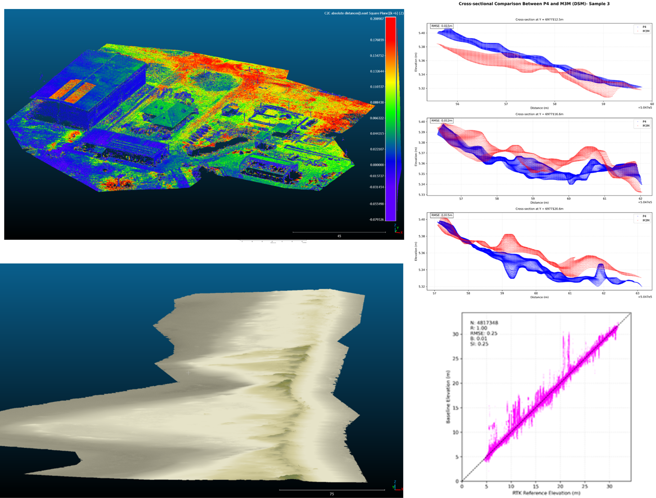
LiDAR and Drone Data Processing services

LiDAR & Drone Data Processing

Expert processing and analysis of LiDAR and drone data for environmental monitoring and assessment.

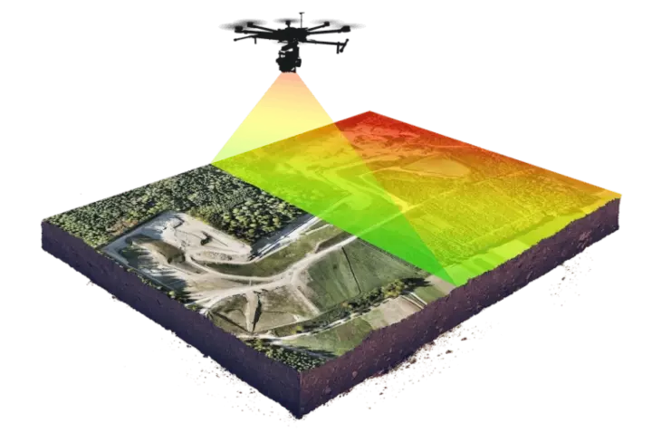
Drone Survey and Monitoring services

Drone Survey & Monitoring

Professional drone surveys and monitoring solutions for environmental projects and site assessments.

Custom Software Development

Bespoke software solutions and automation tools for environmental data processing and analysis.

FEATURED PROJECTS.

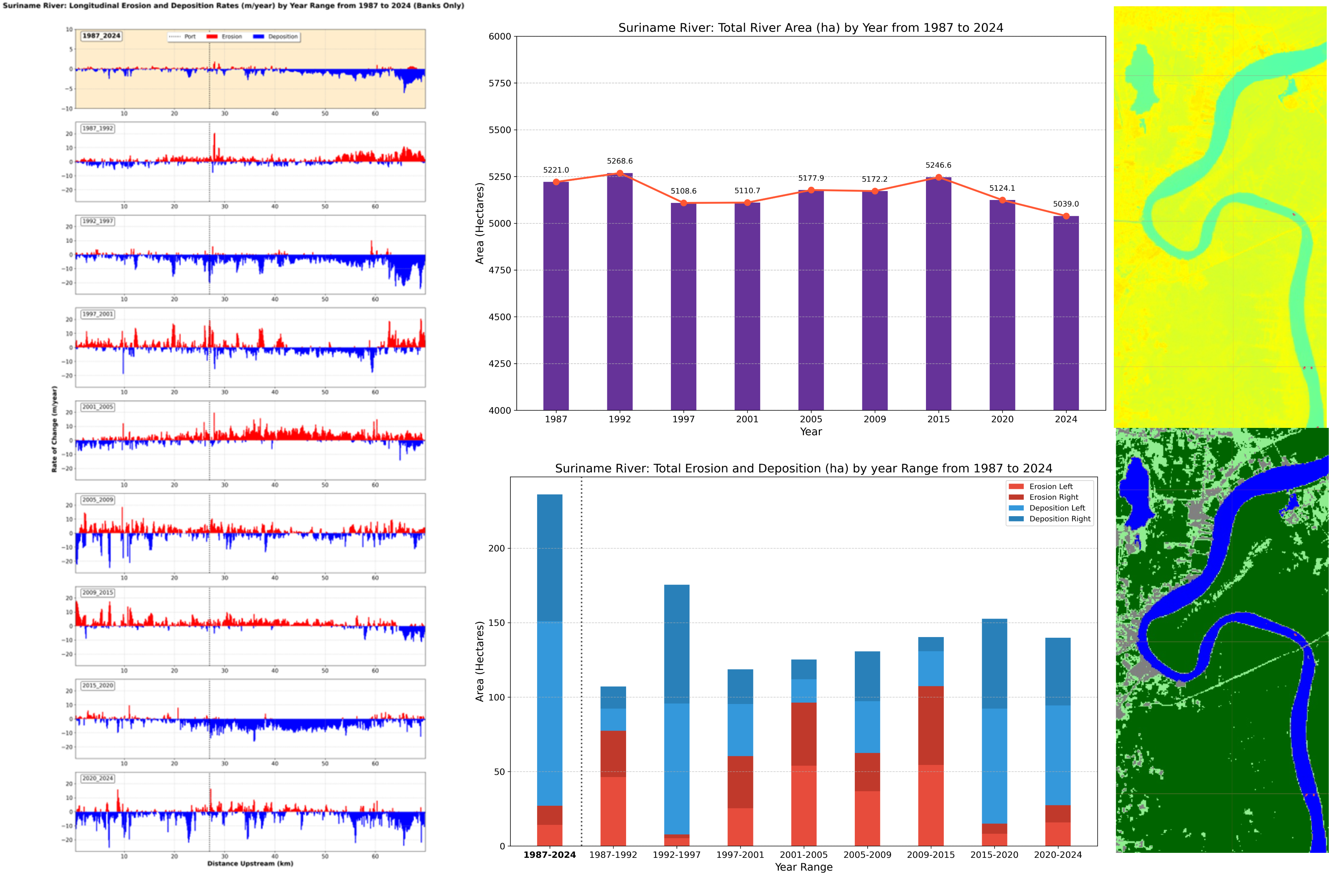
River Migration Analysis Toolkit

River Migration Analysis Toolkit

Custom-built toolkit for analyzing river channel migration patterns and predicting future changes using historical satellite imagery.

Enhanced DTM Extraction Project

Enhanced DTM Extraction

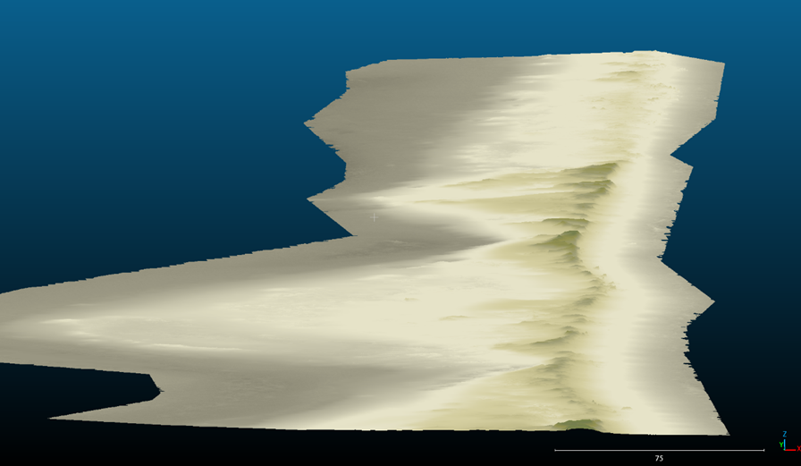
Advanced algorithm development for improved Digital Terrain Model extraction from LiDAR data in densely vegetated areas.

Automated Fire Mapping Project

Automated Fire Mapping

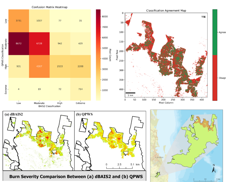
Satellite-based automated detection and mapping of bushfire extent for rapid response and environmental impact assessment.

CLIENT TESTIMONIALS.

Hydrobiology Logo

Dr. Andy Markham

PhD, FAusIMM(CP), CGeog, CEnvP

Director of Hydrobiology

"Hugo has undertaken a variety of project and research-related work for us at Hydrobiology and has completed them to a very high technical standard. He is adept at finding innovative and highly efficient solutions to analytical and data-related challenges, often involving large and complex geospatial datasets. He also has experience in primary data collection and can be relied upon to undertake field tasks to high technical and safety standards."

BJ Flanigan Engineering Logo

Shaun Flanigan

Director of BJ Flanigan Engineering

"Hugo's geospatial expertise was invaluable for our civil engineering projects. His precise terrain modeling and flood risk analysis provided critical data for our infrastructure designs. His ability to translate complex spatial data into actionable engineering insights significantly improved our project outcomes and decision-making process."

Ready to elevate your environmental projects?

Let's discuss how specialised geospatial support can enhance your next project.